
Guides
Usage
If you would like to test our APIs, we can provide you with a personal API key. This key allows you to use the services free of charge up to a certain limit. To request an API key, email a brief description of your use case to support@geops.io.
Documentation and libraries
Directly access the APIs
Most of the APIs come with a Swagger documentation that gives all the information you need. You can call all libraries from each respective documentation page using the forms at the bottom of the pages. Alternatively, tools like the Postman client are handy for evaluating the capabilities of the APIs.
Access the maps
Our maps are based on vector data adhering to the specifications by Mapbox. Since Mapbox is a quasi-standard for vector-based maps, there is a large number of tools to use them in applications. Since the maps are also available as raster maps in the WMTS standard there is an even larger list of tools that can display the maps.
The following list shows some of the tools and libraries that use the maps as vector tiles. Note that there are many more if you plan to use the WMTS format only.
- JavaScript
- Mobile native apps
- Desktop
Use our libraries
Implementation may be much easier if you use our JavaScript libraries. If you look for a low level library, written in pure JavaScript and with dependencies almost only to mapping libraries like OpenLayers or Mapbox GL JS, then mobility-toolbox-js is the way to go. If you need React components, ready to be glued together for a complete mapping application, you should give react-spatial a try.
Demos
Stops
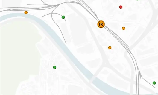
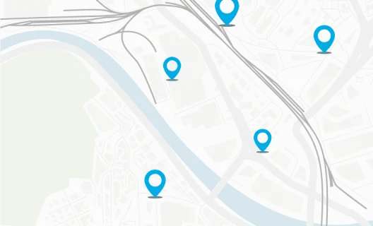
The stops API is very useful for many applications. It is used in the routing demo, but it is also used in mapset, the editor for station plans. Most of the time, the stops API is useful as an intelligent dictionary whenever detailed information about stops is crucial.
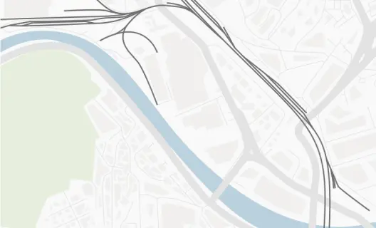
Maps
You will find our maps in many places. Some examples are linked here.
- Worldwide tracker of public transport
- Web map portal from Swiss Federal Railways SBB
- Swiss map in dark mode
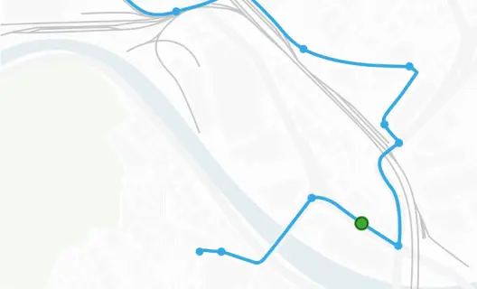
Routing
Our routing demo offers a complete UI to test the routing capabilities. You may check the mode of transport you want to route, select the hops either from form input or by clicking into the map. The routing demo also has an option for calculating the elevation profile of the route and to visualize the result graphically. Of course, all stops that can be searched from the form are backed by the stops API.
Need help?
If you would like to test the API, we can provide you with a personal API key.
Email support@geops.io with a brief description of your use case, and we will get back to you.
If you need to update or revoke an existing API key, please contact us at support@geops.io.
Explore our APIs
-
Routing
Documentation of the geOps Routing API. With our routing service you can find the routes and lines for public transport vehicles as well as for pedestrians.
-
Maps
Documentation of the geOps Maps API. Create beautiful maps using Mapbox vector tiles.
-
Realtime
Documentation of the geOps Realtime API. Get realtime vehicle positions and their journey worldwide.
-
Stops
Documentation of the geOps Stops API. Get detailed information about stops worldwide.