
Your Toolbox for Mobility and Logistics
The geOps developer portal provides a toolbox for public transit applications. The tools comprise web services as well as open source libraries that have been inspired by many projects realized for public transit agencies.
Learn moreExplore our APIs
-
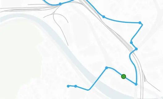
Routing
Documentation of the geOps Routing API. With our routing service you can find the routes and lines for public transport vehicles as well as for pedestrians.
-
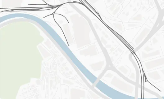
Maps
Documentation of the geOps Maps API. Create beautiful maps using Mapbox vector tiles.
-
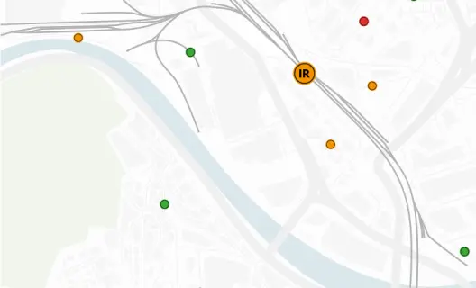
Realtime
Documentation of the geOps Realtime API. Get realtime vehicle positions and their journey worldwide.
-
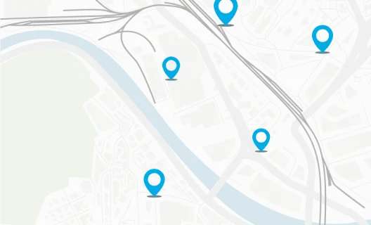
Stops
Documentation of the geOps Stops API. Get detailed information about stops worldwide.
About the geOps Developer Portal
Our tools support extensive and precise information for passengers on public transit networks and timetables including deviations and disruptions, much of it in realtime.
An important focus is on spatial information specially processed for the needs of public transport. Results are APIs for maps that emphasize public transport or APIs that visualize the exact course of routes or that track the positions of vehicles.
Licensing
You may use all services published here free of charge up to a certain limit. Free usage is intended for non-commercial purposes only.
To get started, email support@geops.io with a brief description of your use case, and we will provide you with a personal API key to access the services.
If you plan to use the services in a commercial or production environment, please contact us at support@geops.io so we can recommend the most suitable plan for your needs.
For detailed technical instructions, please refer to the Guides section.