Maps
Our maps are based on Mapbox vector tiles. This technology allows high-performance maps and enables unlimited possibilities for styling and interactivity. With the same basics, the maps can look very different and be optimally adapted to your corporate design or your special application.
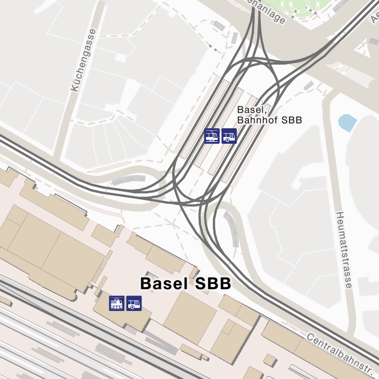
Our maps emphasize everything that is relevant for public transport and mobility in general. Besides the nice looking cartography the following features are the highlights:
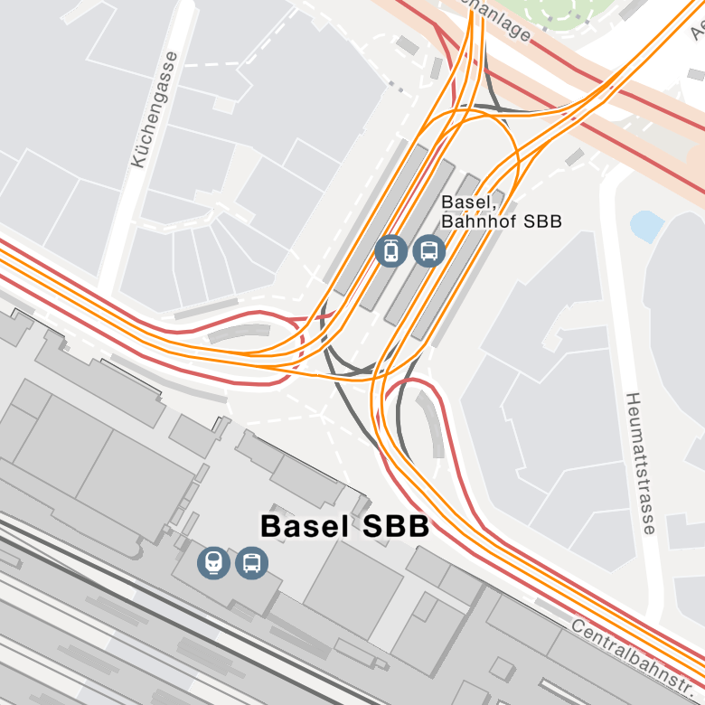
- Complete stations and stops with official names and official numbering.
- Stop edges as point objects as well as polygons for the platforms.
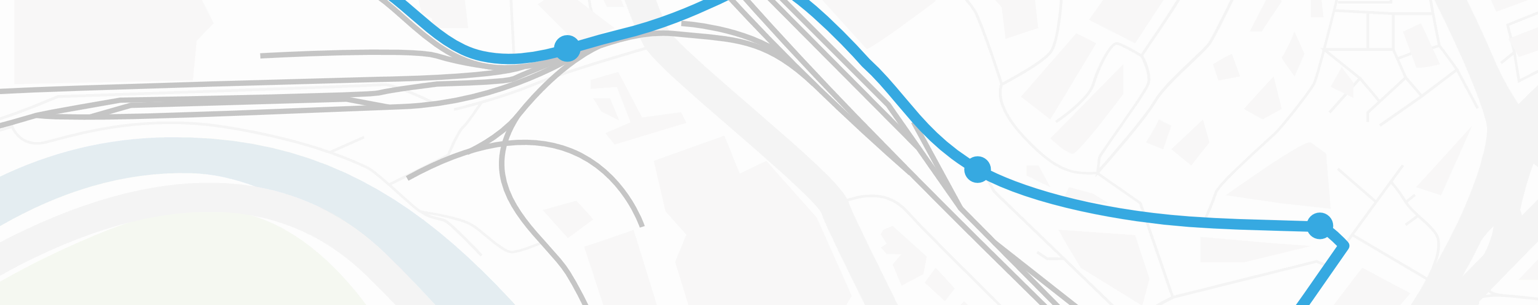
- Lines of public transport for trains, buses, trams and other means of transport.
- Points of Interest (POIs) with the offers of Shared Mobility.
- House numbers as well as entrances and passages as orientation points for door-to-door navigation.
- Elements important for barrier-free navigation, such as lifts and escalators.
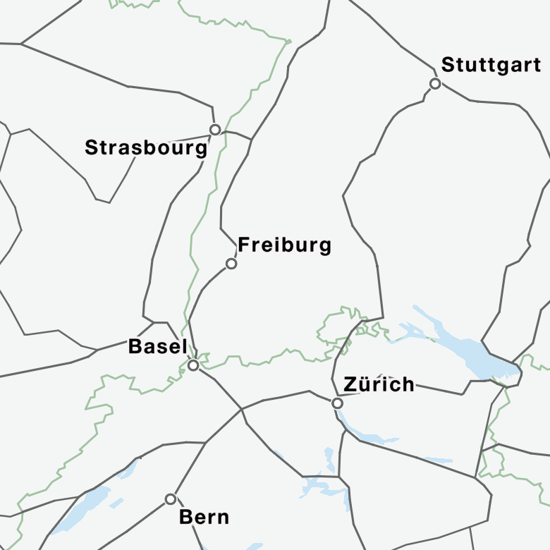
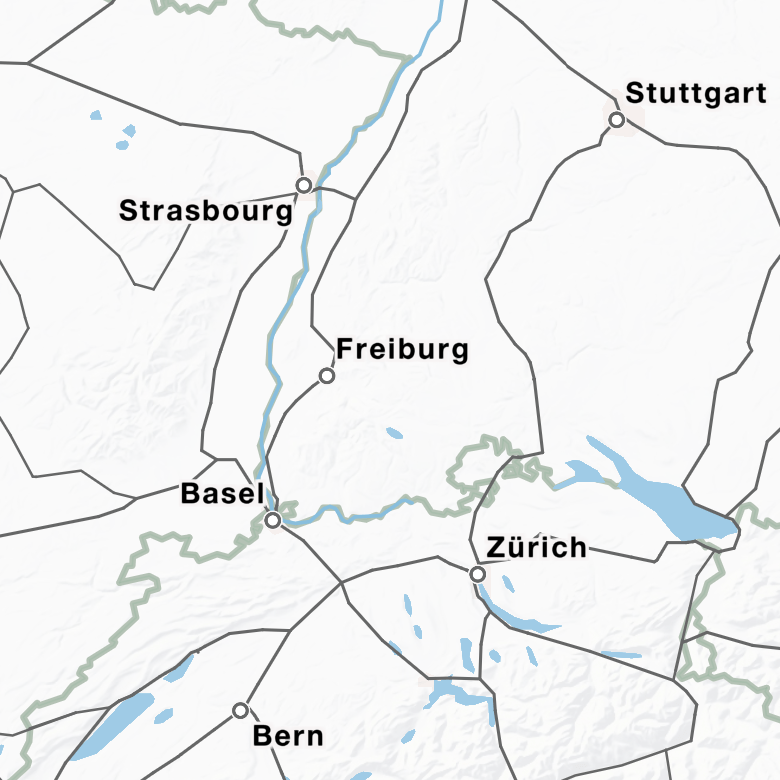
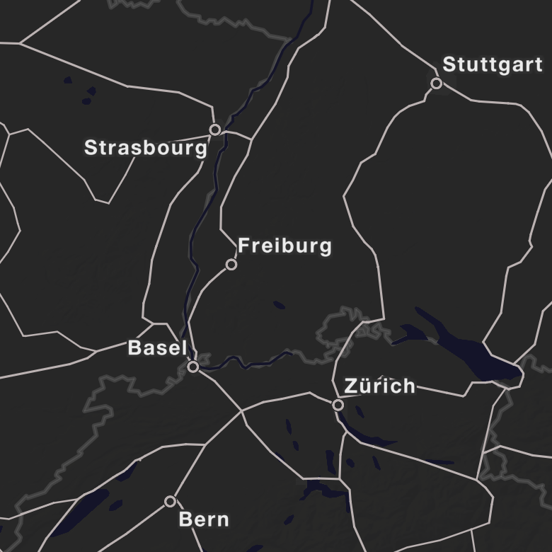
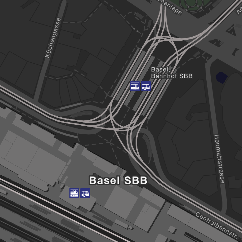
Here are examples of some map styles we offer. Contact us if you need individual styles.
In order to include a map you have to reference the style together with the key. https://maps.geops.io/styles/base_bright_v2/style.json?key=<key>
Check the guides section to learn how to add our maps to your application.
Need help?
If you want to test the API, please login and create your own API-Key.
Please contact us if you want to use the API for production!
Feel free to reach out to the team via support@geops.io